Google Earth is one of the niftiest free tools available to anyone who wants to get a bird’s eye view of this beautiful planet. Between the ability to fly effortlessly to any place in the world in seconds, to Google’s partnership with Panoramio to provide amateur photos from anyone who cares to upload them, to the ability to now view historical satellite photographs of an area, it’s a pure pleasure to be able to use.
I use it a lot more now that I live in Jordan, however. The main reason for this is because for whatever reason, I can pretty much be guaranteed accurate, up-to-date imagery of Jordan and other Arab countries. Although Google didn’t have street names in Amman for my first five months in Jordan, they’ve added those since then – although their use is debatable since no person, be he taxi driver or King of Jordan, has any idea what 99% of the street names are in Amman. No one uses them, using major buildings or traffic circles as directional landmarks instead.
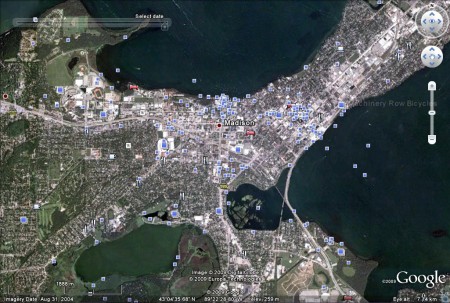
When I came back to Madison a couple weeks ago, I wanted to see if they’d updated the Google Earth map to reflect the fact that my venerable Ogg residence Hall was demolished a year ago and since then two entirely new dorms have been built in its place. Google Maps (as in the website) is less effective here because it only provides a copyright date, which is always just the current year. Google Earth, however, informed me right away that downtown Madison, at an elevation of around 7 kilometers, hasn’t been updated since late August 2004.
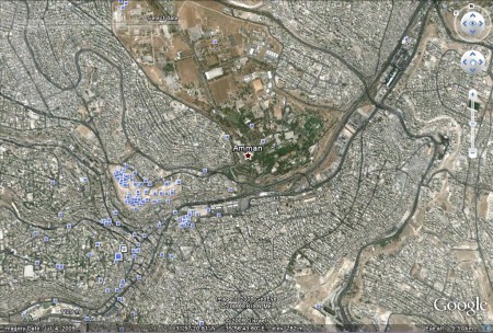
You can easily see the imagery date in every recent version of Google Earth, there in the lower left part of the screenshot I took. Compare that five and half year update span to this screenshot from Amman which I captured on the same evening.
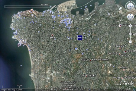
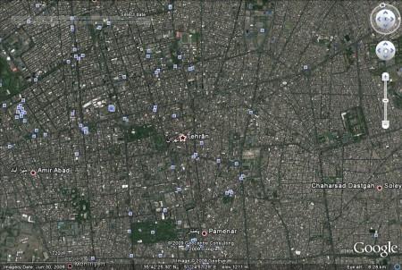
This picture is from mid July of 2009. Since I was already in the Middle East, I flew around to other large capitol cities from other Middle Eastern countries.
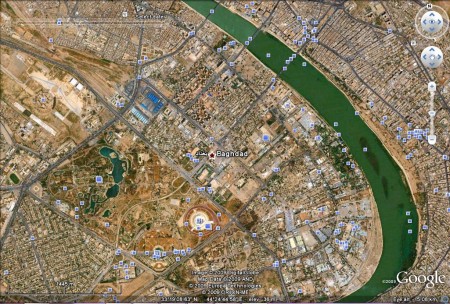
Even more interesting, when I hovered over Baghdad, the former center of America’s “War on Terror” not even a date was displayed for the current photography. Using Google’s “previous imagery” function, I deduced that the last satellite photos that were given an official timestamp were from back in 2005. Out of the dozen searches I conducted, Baghdad was the only city that did not prominently display the date of its images in the lower left.
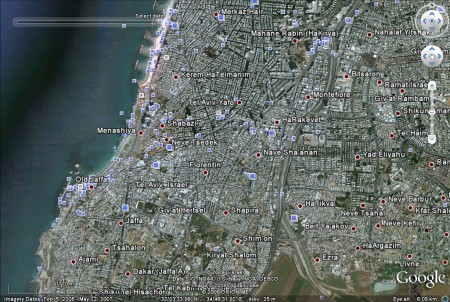
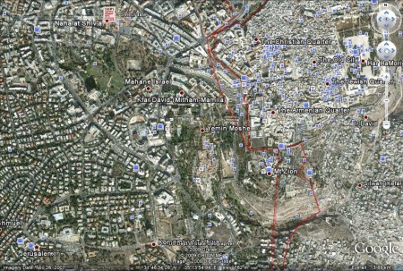
So, it’s obvious that there’s merely more satellites posed over the relatively small area of the Middle East compared with the vastly larger North American continent, right? And it should therefore stand to reason that they just happen to be taking more pictures of everyone under their cameras. Not necessarily. These Arab capitols I’ve just shown you weren’t the only ones I photographed. Below are the two major cities of Jordan’s next door neighbor, Israel.
So, in the span of a few hundred kilometers, we have five capitols of Arab nations, that have all had their satellite imagery updated within the past year. However, easily within that same range, we have a country that is considered Jewish that has pictures that are many times older. Why are there no satellite images of Jerusalem and Tel Aviv in the same time scale as the other cities? From the looks of the Arab pictures from May, June, July, and then August (and who knows for Baghdad) there was a definite system to these photography. Shouldn’t Israel be in there in, for example, April or September?
Taking these screenshots reminded me of my trip into Jerusalem a few months ago. Our Palestinian driver from the border pointed out a zeppelin that flew high above the center of town. He told us that it was a security blimp, positioned up there to be able to focus down at the Muslim mosques below with high resolution cameras. Supposedly, they carefully keep logs and records by name on every Muslim who enters the mosques, keeping special care to note how devout they are to their prayers and how frequently they attend. How very generous of Israel to take up that responsibility!
I’m not the first person to raise an eyebrow about Google’s satellite image-server policy. This article from the Arab News Blog questions the differences in resolution (clarity) of the images that are used over Iraq, Egypt, and Israel. In my own completely non-scientific article, I don’t speculate on resolutions and how easy it is to see various things in each city, but instead just how frequently things are updated. You can check all of this out yourself in Google Earth if you like; and if you don’t have it it’s free to download and useful for many more things than mere casual observations such as these!
So, my friends and colleagues in the Arab and Persian worlds, feel free to shoot a jaunty wave up to the beautiful blue skies above you (or grayish, if you’re in Cairo) because you can rest assured that you’re being watched and photographed – perhaps even a bit more than your neighbors. For your safety and convenience, of course.



Google licenses images from the satellite and aerial photography companies credited at the bottom center of the Google Earth screen. If you’re going to imagine some deeper purpose in what is shown then it asking why the satellite imagery vendors have only old photos in some areas is less illogical than asking why Google who shows all that’s available has older photos in those places. (Since the answer to the second question is simply “because that is all there is to license.”)
Doug – my apologies if you thought that I was inferring that Google was responsible for the photo-taking. Although they’re rich, I’m pretty sure they’re not yet shooting orbital satellites into space (yet).
I merely used Google Earth as the easiest way to view compilations of these satellite photos, after Google’s received license to use them, of course.
Merry Christmas!